Day 4; Thursday, August 15
We were up at 05.30 as usual, and had a leisurely breakfast of bacon, blueberry bagels and coffee. Even so we were on the water by 07.30 without rushing. There was still lots of heavy cloud, but we began to see patches of blue sky. The temperature was 13°C, but it felt cool. We paddled under the overcast for half the morning but then began to be in occasional patches of sunlight.
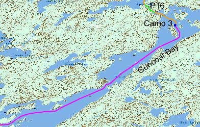
We still had a strong following wind, and on Guncoat Bay
passed two fishing boats going north with the crew well covered with parkas and
oilskins. Things were warming up, and we were too warm with a coat on in the sun
and too cool with just a T shirt in the shade and wind.
After 11 km. we turned west, and checked our position with the GPS. We headed towards Edwards Island, but neglected to take accurate compass readings.
We were now at the join between two maps and near the edge of both, but the next time we checked our position with GPS we were off the bottom edge of the maps. This was a shock, and we had no map of where we were to map read our way back onto our course. We backtracked about 500 meters (into the wind for once) and found a channel to the north, and confirmed our location with GPS. After 2 km. we were back on course (at GR 308519) and paddling into the wind. We decided we had probably passed to the south of Edwards Island rather than to the north. Map reading is easy through the islands if you know where you are but impossible if you don’t!
We threaded the islands on Mountain Lake, passing two canoes with a family heading south, through Cow Narrows and, with a final course correction towards the sound of the falls, arrived at Twin Falls, a drop of 6 m in the Churchill.
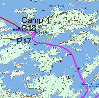
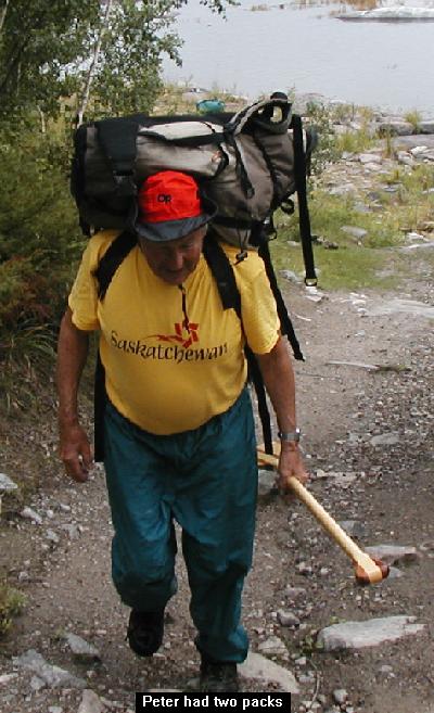
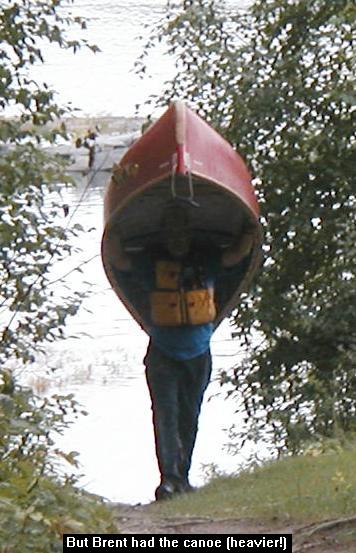
There is an outfitters camp near the falls, and this looks out to both the upstream and downstream sides. The portage (P17, 265 meters) is wide with a rotting slipway for boats, with muddy holes and incredibly slippery clay on the steep descent at the end. We both got very dirty. It was only a kilometer to the next portage (P18) which the guide says is around 3 meter Robertson falls (the difference between the two sets of falls from Mountain Lake to Otter Lake is 9 meters on the map), but it seems a lot more than that on the short but steep trail. We traversed each portage twice. The first time Brent carried the canoe and Peter the food bag. The second time we both carried two packs.
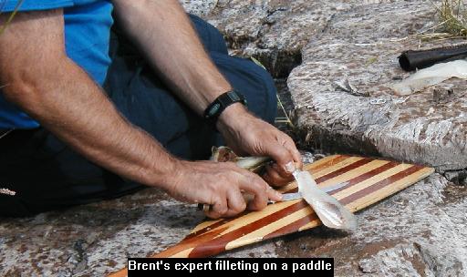
It was only 14.30 and we had intended to continue, but found a well established campsite at Robertson, so decided to stay there. It even had a pit toilet, in view of the normally high traffic through this point, but there was no one else there on the Thursday night we camped. The toilet was OK if you propped the door wide open to get some of the breeze through! We organized camp, Brent began to make bread, and we bathed in the cool water, but this did not appear to excite any interest from the outfitters camp. We had the walleye and fresh bread for dinner with brandy to follow.